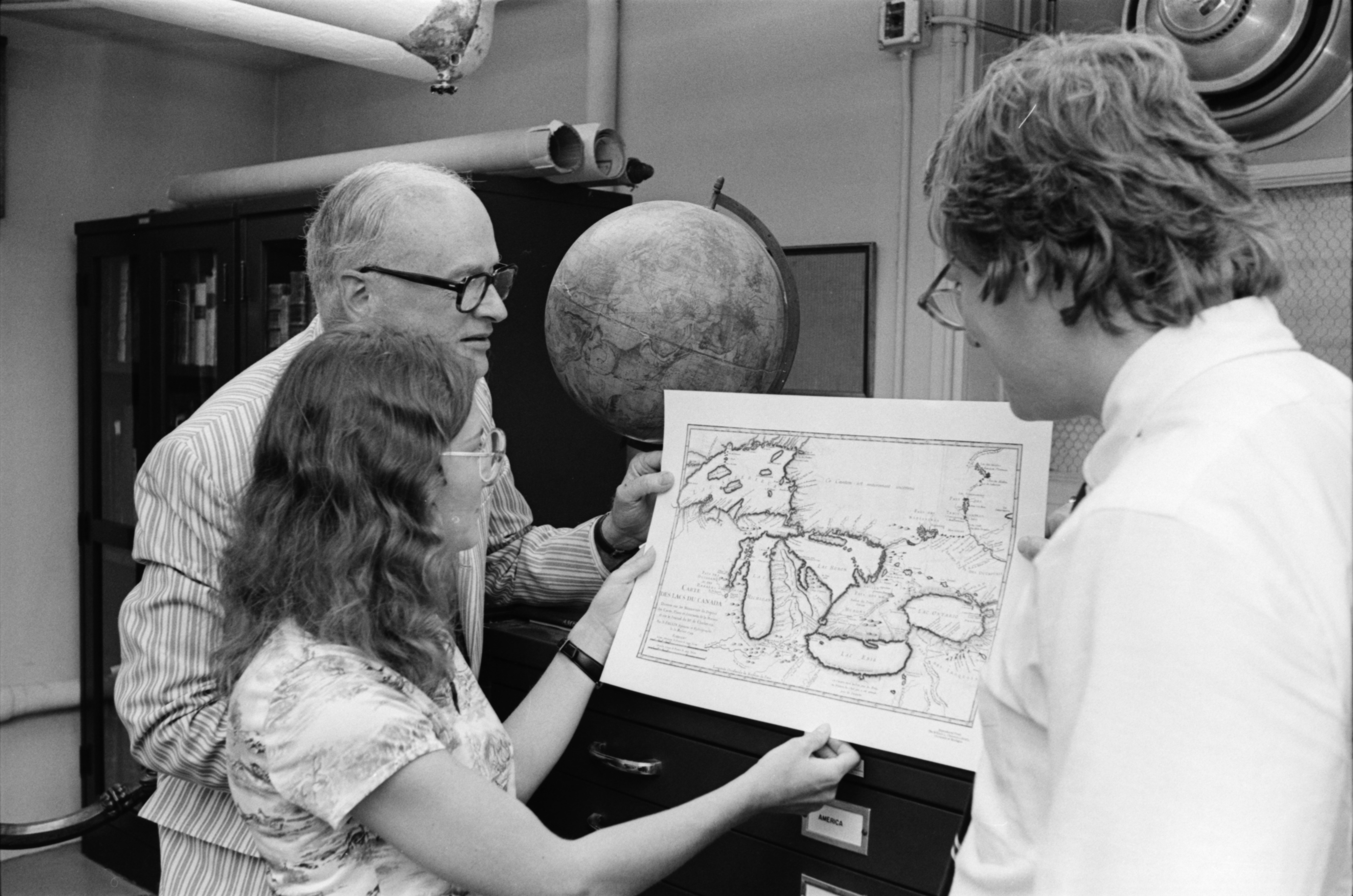
Michigan Map Society Members Examine An Old Map Of The Great Lakes Region, July 1978

Published In
Ann Arbor News, July 1, 1978
Caption
LOPSIDED: The Lower Peninsula of Michigan is a little bit lopsided on this old map of the Great Lakes region being examined by (from left) Dr. Thomas Cross, president of the Michigan Map Society; June Harris, secretary, and Douglas Marshall, chairman of the society's projects committee. (News photo by Larry E. Wright)
Year
1978
Month
July
Rights Held By
Donated by the Ann Arbor News. © The Ann Arbor News.
Copyright
Copyright Protected