Aerial Photograph of Kensington Farms Subdivision, July 1956
Year:
1956
Copyright
Copyright Protected
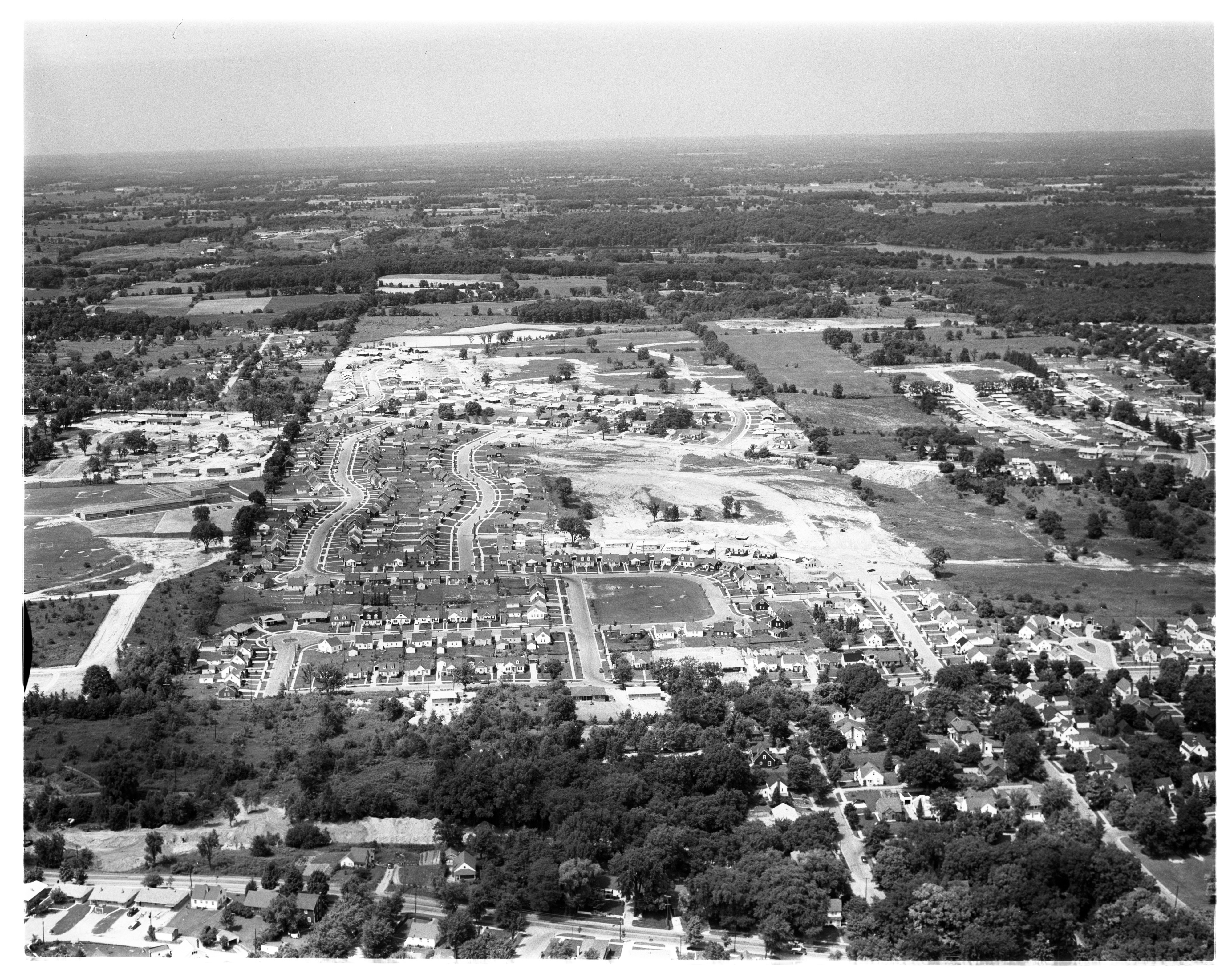
Aerial Photograph of Westaire Subdivision, July 1956

Year:
1956
Published In:
Ann Arbor News, July 21, 1956
Caption:
Westward Ho: Ann Arbor's city limits are pushed ever outward. And this aerial photograph offers graphic evidence. That thoroughfare across the bottom of the picture, completely paved and lined with neat homes on landscaped lots is Duncan St. Earlier in this decade, Duncan St. resembled the area above it, an area which lies due west. Maple Rd., the western city limits in this area, is shown above the rough land under construction as it extends across the picture. Miller Ave. is shown along the right extending from Duncan up to Maple. The sector under construction is Westaire subdivision, a 200-lot project being developed by Staebler & Son and the Prospect Hill Construction Co., a subsidiary of the Home Realty Co. Today, its streets are but graded, exaggerated paths through the field. But, they have recorded names and, in the future they will appear as urban as Duncan. Looking from Duncan west, the first street (the curved street) is N. Circle Dr. (right) and S. Circle Dr. (left). Above the curved street are three straight streets known as Westaire Way, Hasper Dr. and Western Dr. On to the west (toward top of picture), beyond Maple Rd., lies pastoral land. How long will it maintain its rural appearance? Who knows?
Copyright
Copyright Protected
- Read more about Aerial Photograph of Westaire Subdivision, July 1956
- Log in or register to post comments
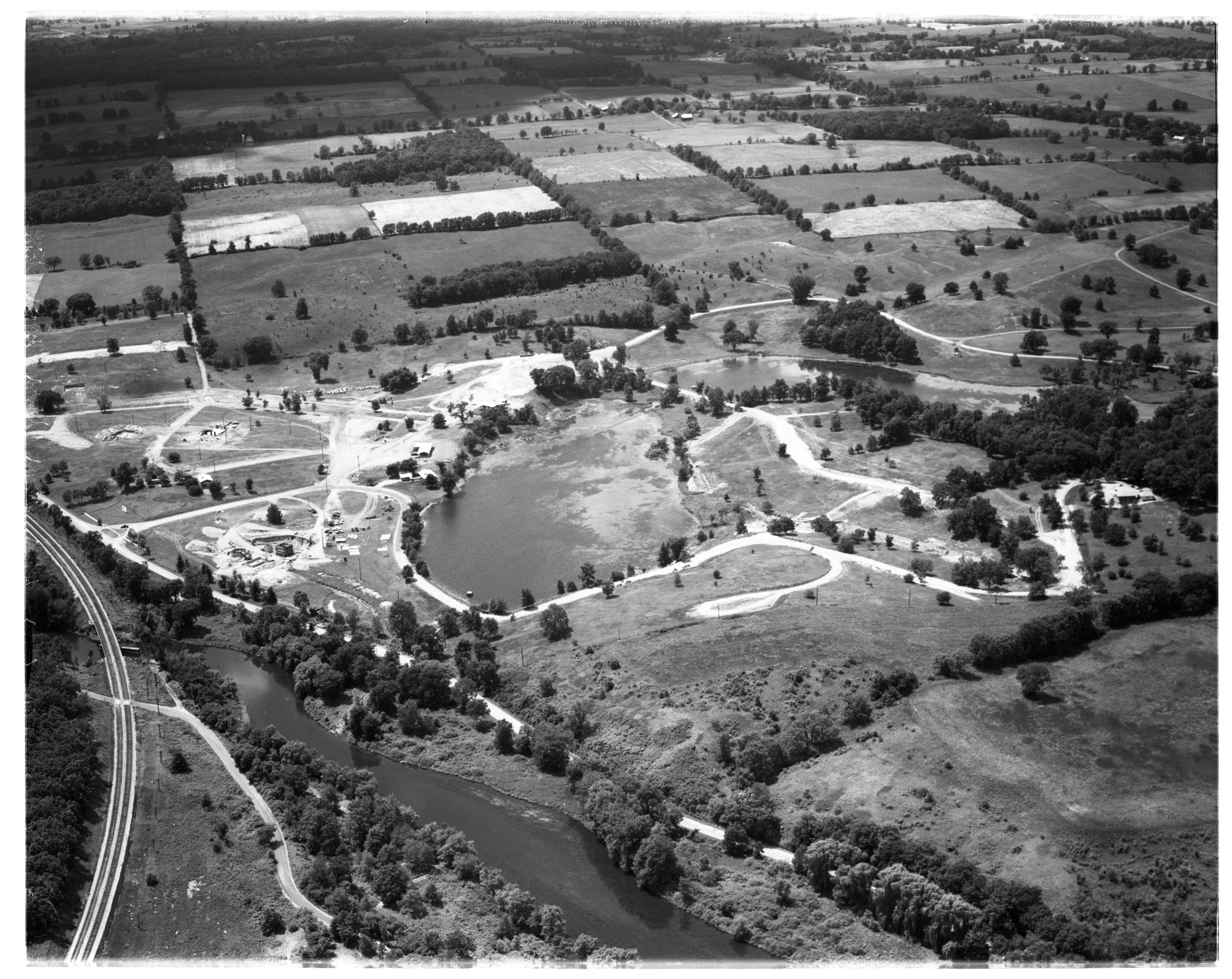
Aerial View of Westaire and Arbor Heights Subdivisions, July 1956
Year:
1956
Published In:
Ann Arbor News, July 7, 1956
Caption:
Growing Northwest: The northwest area of Ann Arbor is partially seen in this aerial photo as an area of new homes. Haisley School (left, center) is flanked by the newly started Westaire subdivisions. The street leading from the school extends to Duncan St., which with its parallel Bruce St., constitutes Arbor Heights No. 2. The dirt area at the right is Arbor Heights No. 3. The original Arbor Heights is at the bottom left. Bruce and Duncan Sts., at their top portion, reach Miller Ave. Above this Martin Acres Nos. 1 and 2. These end at the pond near the top of the picture.
Copyright
Copyright Protected
Aerial Photograph of College Heights Subdivision #1, Ypsilanti, July 1956

Year:
1956
Copyright
Copyright Protected
Aerial Photograph of Ypsilanti Township Subdivisions, July 1956
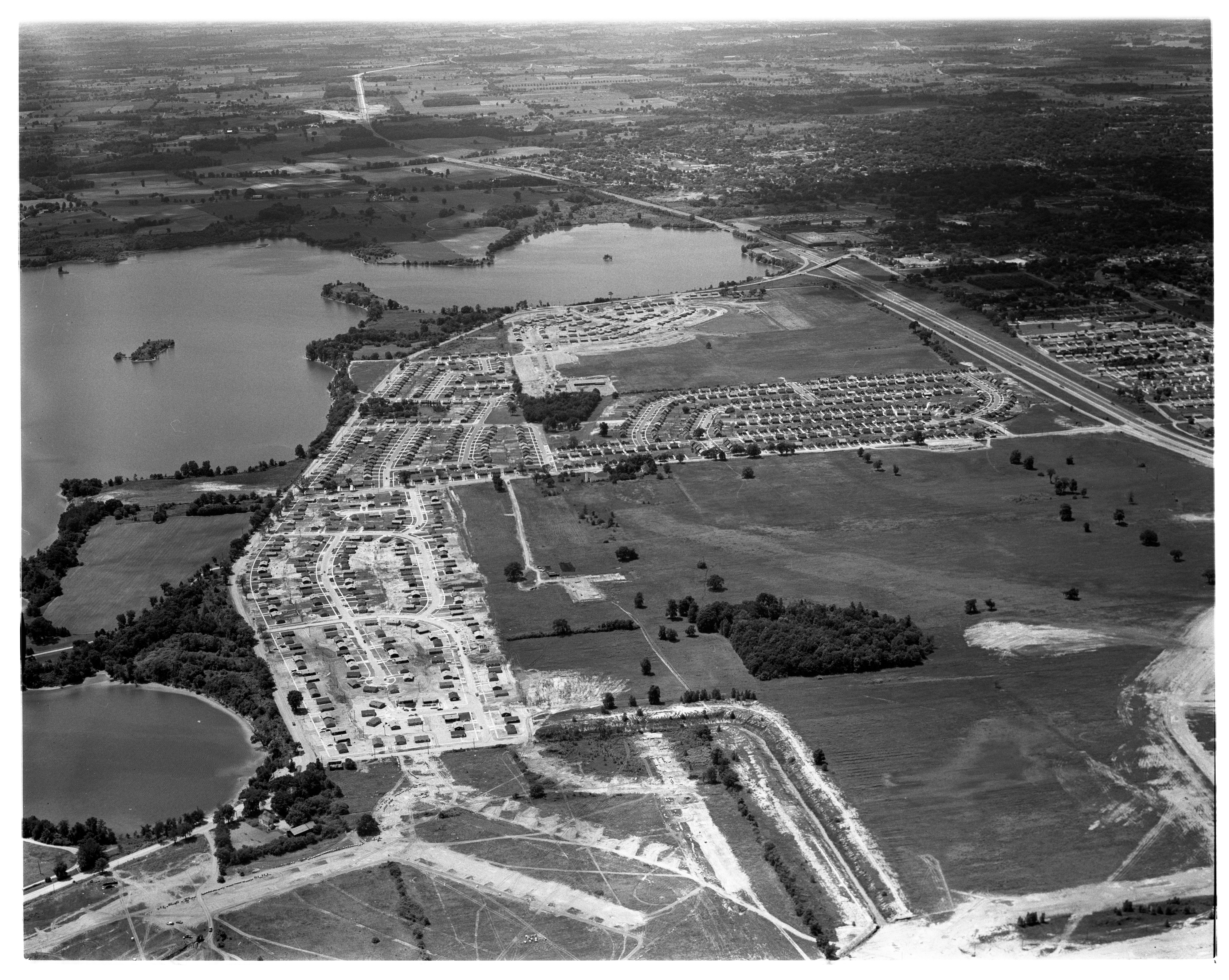
Year:
1956
Copyright
Copyright Protected
Aerial Photograph of John Montonye's Shady Knolls Farm Surrounded by New Homes, September 1955

Year:
1955
Published In:
Ann Arbor News, September 1, 1955
Caption:
Nancy Park Neighbors: This barn and silo owned by John P. Montonye of 1175 Grove Rd., contrasts sharply with the Nancy Park subdivision homes that surround it on the north, west and east, one mile southeast of Ypsilanti. Montonye, president of Ypsilanti's Indoor Comfort Co., uses the barn for storage purposes in connection with his business, but the silo is unused. He purchases the 2 1/2-acre plot from the estate of the late Charles Newton, who formerly owned the entire Nancy Park area.
Copyright
Copyright Protected
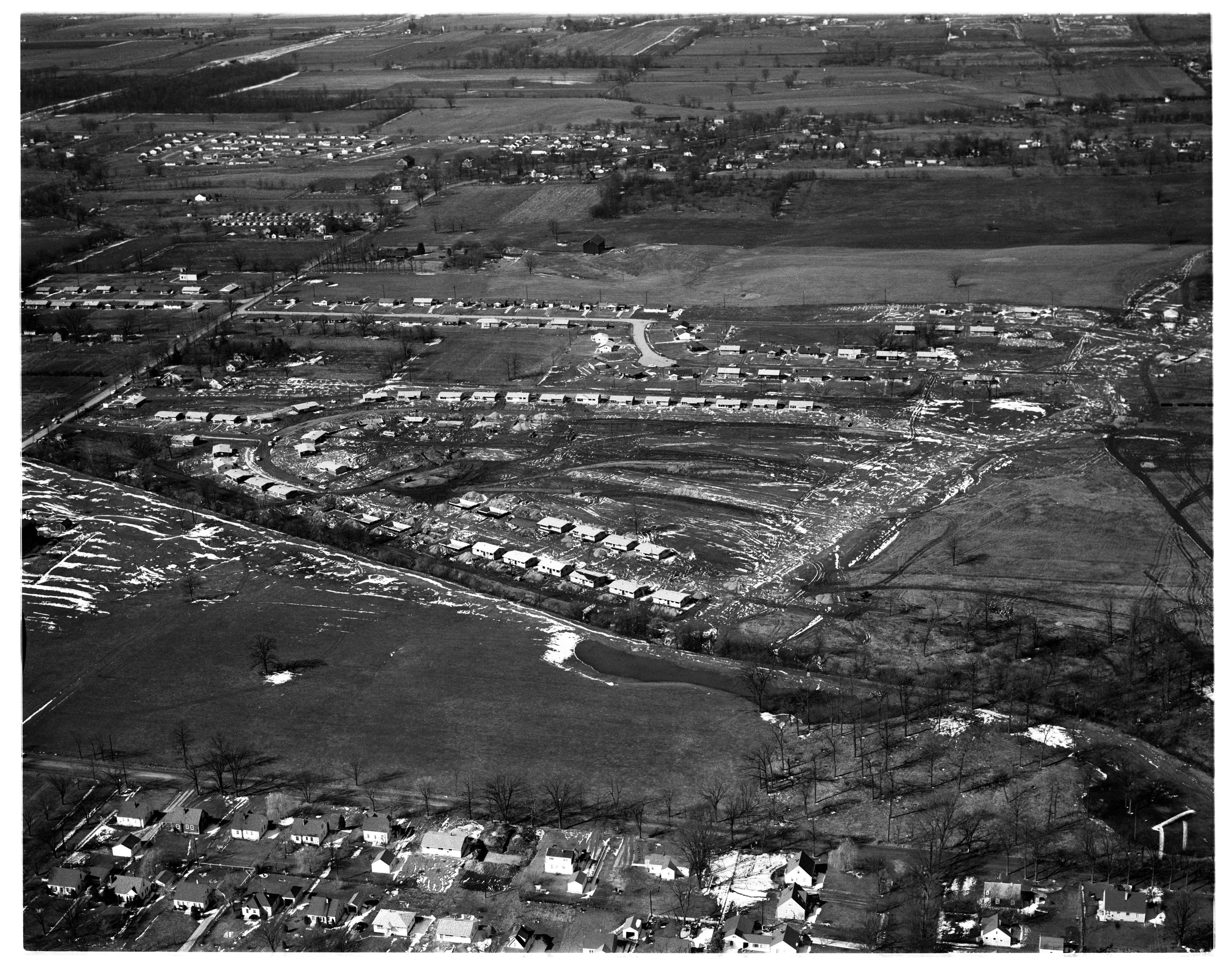
Aerial Photograph of Martin Acres Subdivision, January 1955

Year:
1955
Published In:
Ann Arbor News, January 8, 1955
Caption:
Martin Acres - Another Link in City Expansion: This aerial photo shows Martin Acres No. 1 subdivision, abutting Miller Ave. near the Haisley School, where 50 homes are under construction and 24 others are completed, 18 of which are occupied. This and Martin Acres No. 2 (now fields in the upper right) will have a total of 222 homes where completed. Miller Ave. crosses the lower left corner of the picture. Subdivision streets visible are, Saunders Crescent (lower right extending from Miller Ave.), which runs into winding Creal Crescent, and Hatcher Crescent (upper left).
Copyright
Copyright Protected
Hills Area Annexed To Ann Arbor
Parent Issue
Day
8
Month
April
Year
1958
Copyright
Copyright Protected
- Read more about Hills Area Annexed To Ann Arbor
- Log in or register to post comments
University Estates subdivision, October 1962

Parent Issue
Day
6
Month
October
Year
1962
Copyright
Copyright Protected
- Read more about University Estates subdivision, October 1962
- Log in or register to post comments