Truck Off Jackson Road Bridge Over Mill Creek, February 1936 Photographer: Eck Stanger

Year:
1936
Published In:
Ann Arbor News, February 21, 1936
Caption:
PLUNGES OFF JACKSON ROAD BRIDGE: Because the tractor remained on the road, no one was injured as this truck trailer toppled off a temporary bridge into Mill creek about seven miles west of here. The driver's name was not learned, but the trailer bore the name "Michigan Interstate Lines, Inc." The Mill creek bridge is one of the hazardous points of construction west of here, made worse by snow and ice.
Copyright
Copyright Protected
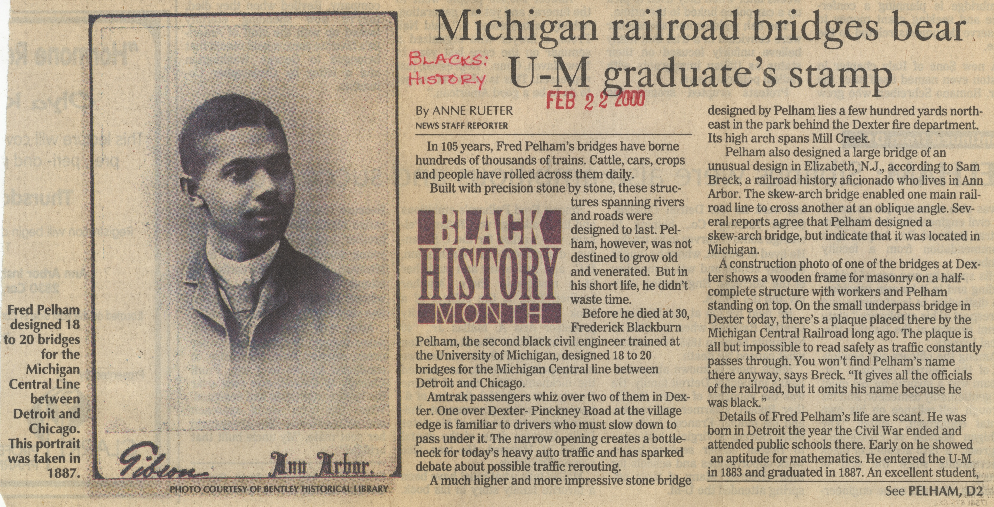
Michigan Railroad Bridges Bear U-M Graduate Stamp
Parent Issue
Day
22
Month
February
Year
2000
Copyright
Copyright Protected
- Read more about Michigan Railroad Bridges Bear U-M Graduate Stamp
- Log in or register to post comments
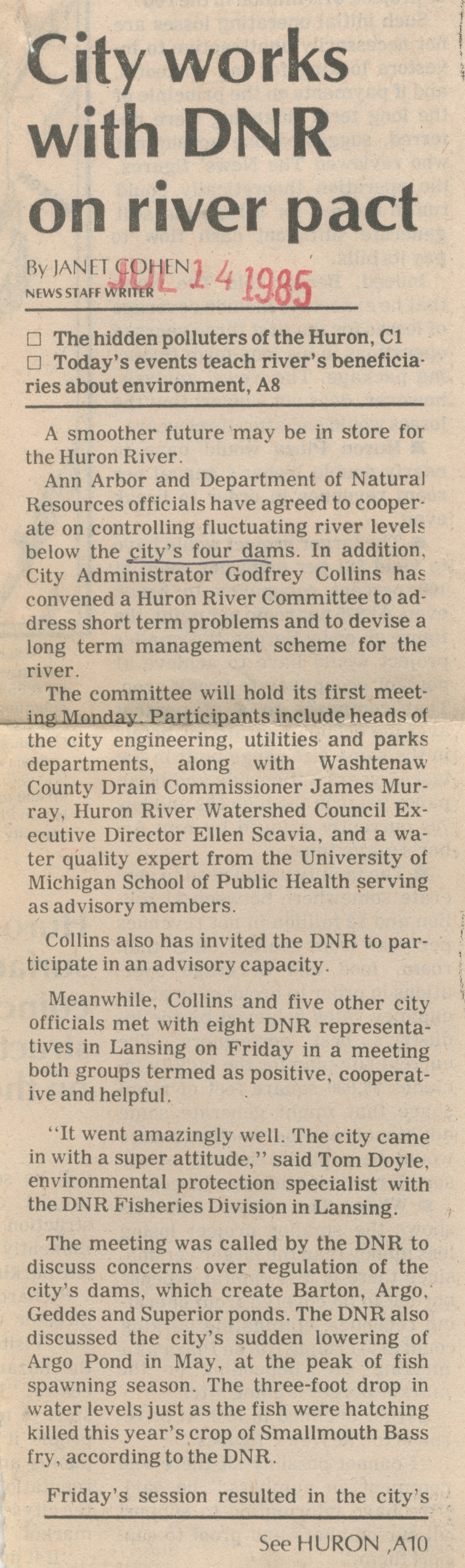
City Works With DNR On River Pact
Parent Issue
Day
14
Month
July
Year
1985
Copyright
Copyright Protected
- Read more about City Works With DNR On River Pact
- Log in or register to post comments
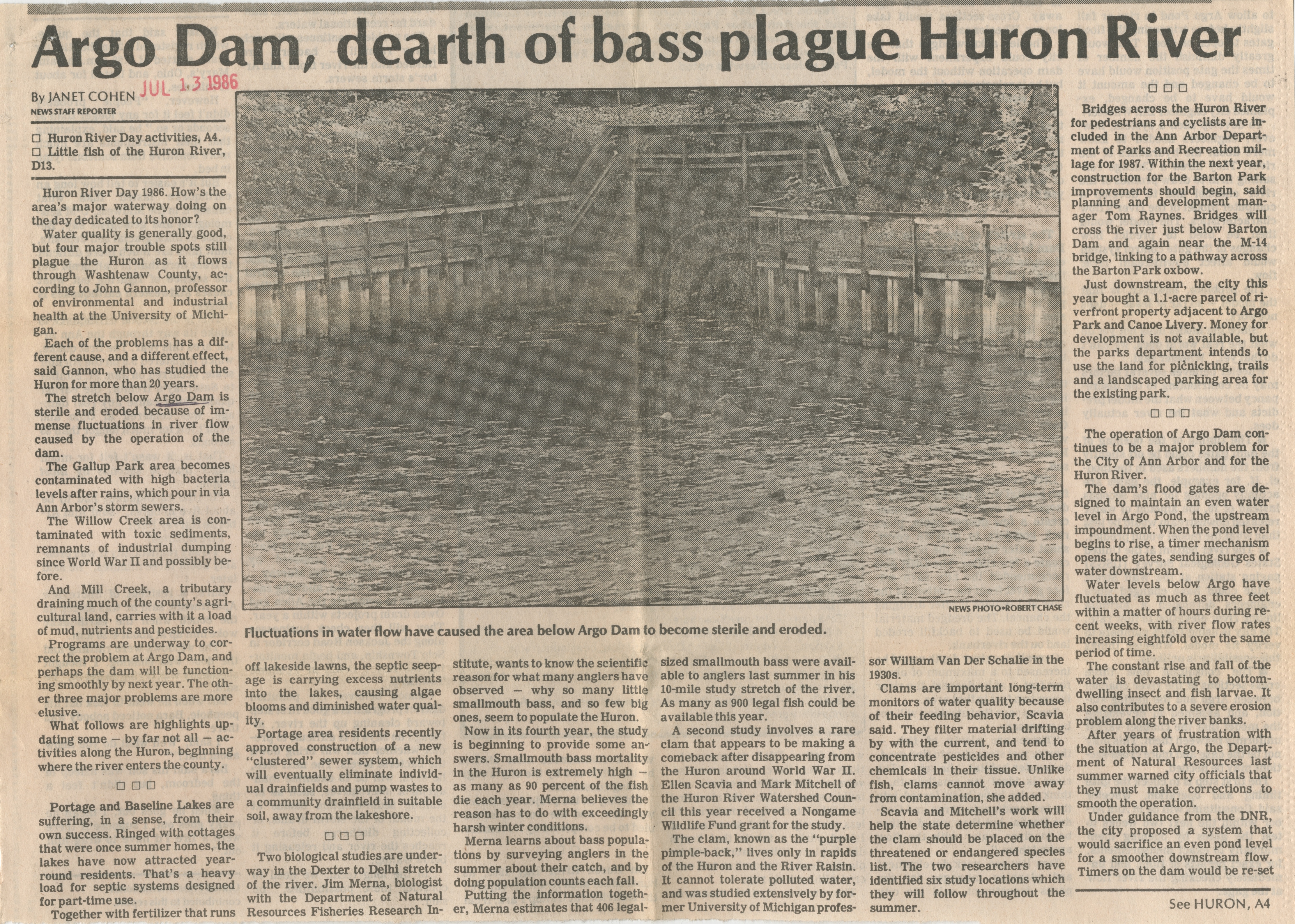
Argo Dam, Dearth of Bass Plague Huron River
Parent Issue
Day
13
Month
July
Year
1986
Copyright
Copyright Protected
- Read more about Argo Dam, Dearth of Bass Plague Huron River
- Log in or register to post comments
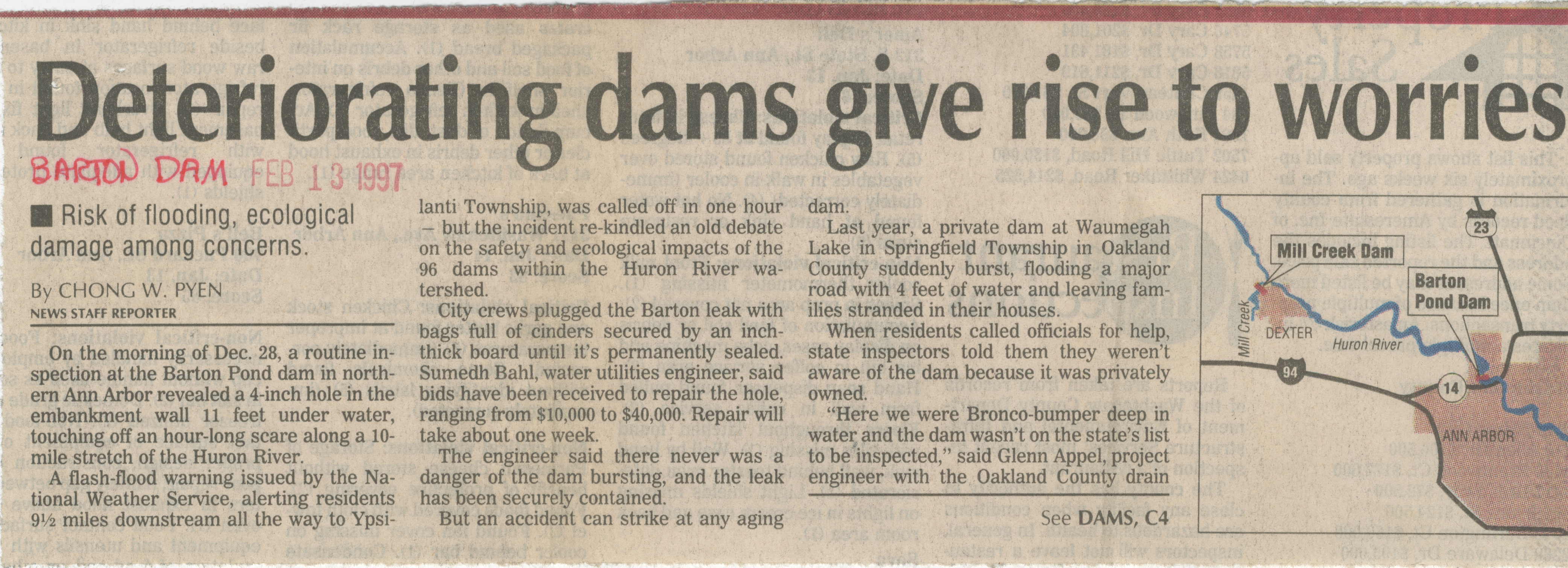
Deteriorating Dams Give Rise To Worries
Parent Issue
Day
13
Month
February
Year
1997
Copyright
Copyright Protected
- Read more about Deteriorating Dams Give Rise To Worries
- Log in or register to post comments