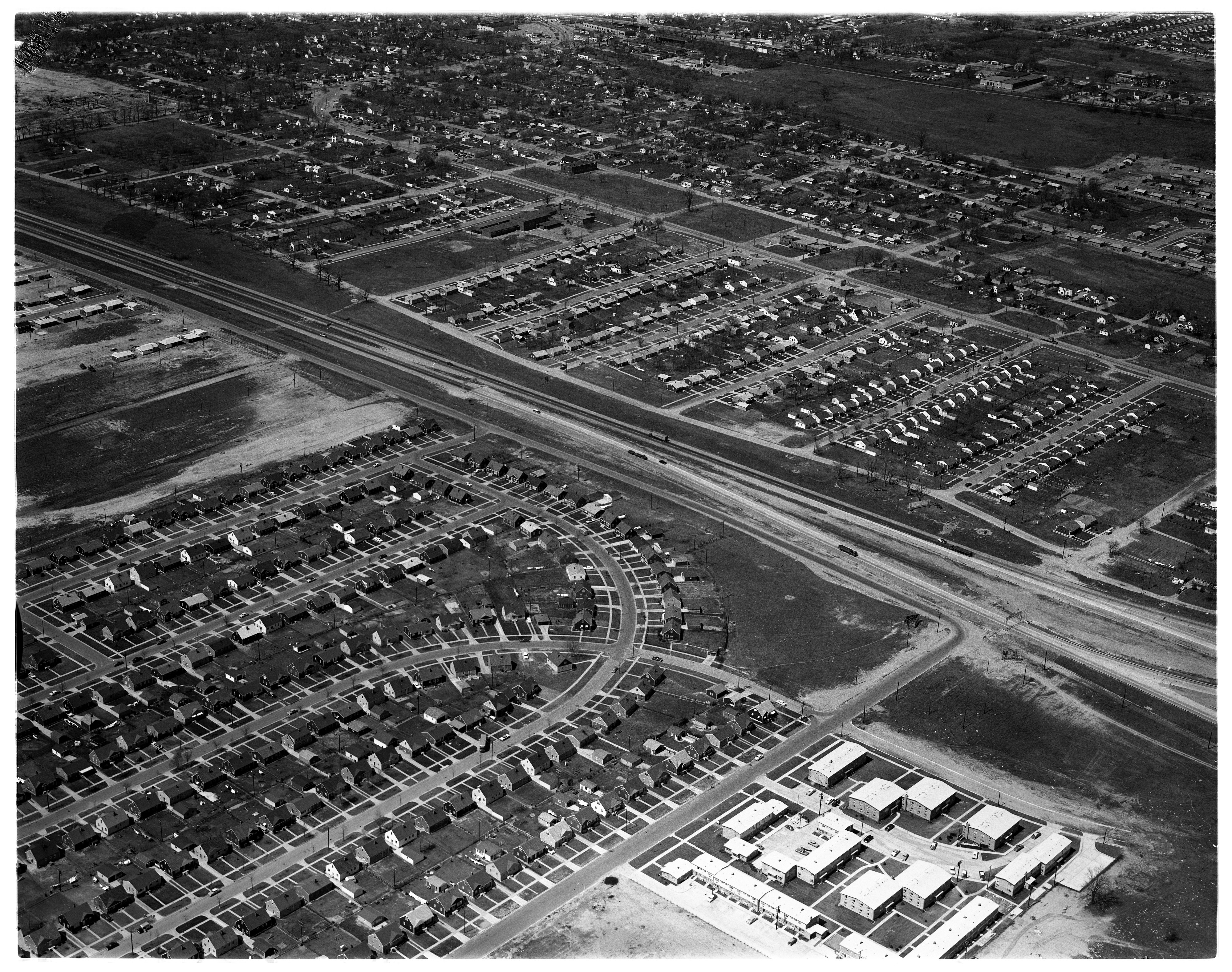
Aerial Photograph of the US-23 Bypass at Milan, Looking North, November 1951
Year:
1951
Copyright
Copyright Protected

New Span To Be Named 'Huron Valley Bridge'
Parent Issue
Day
6
Month
October
Year
1955
Copyright
Copyright Protected
- Read more about New Span To Be Named 'Huron Valley Bridge'
- Log in or register to post comments
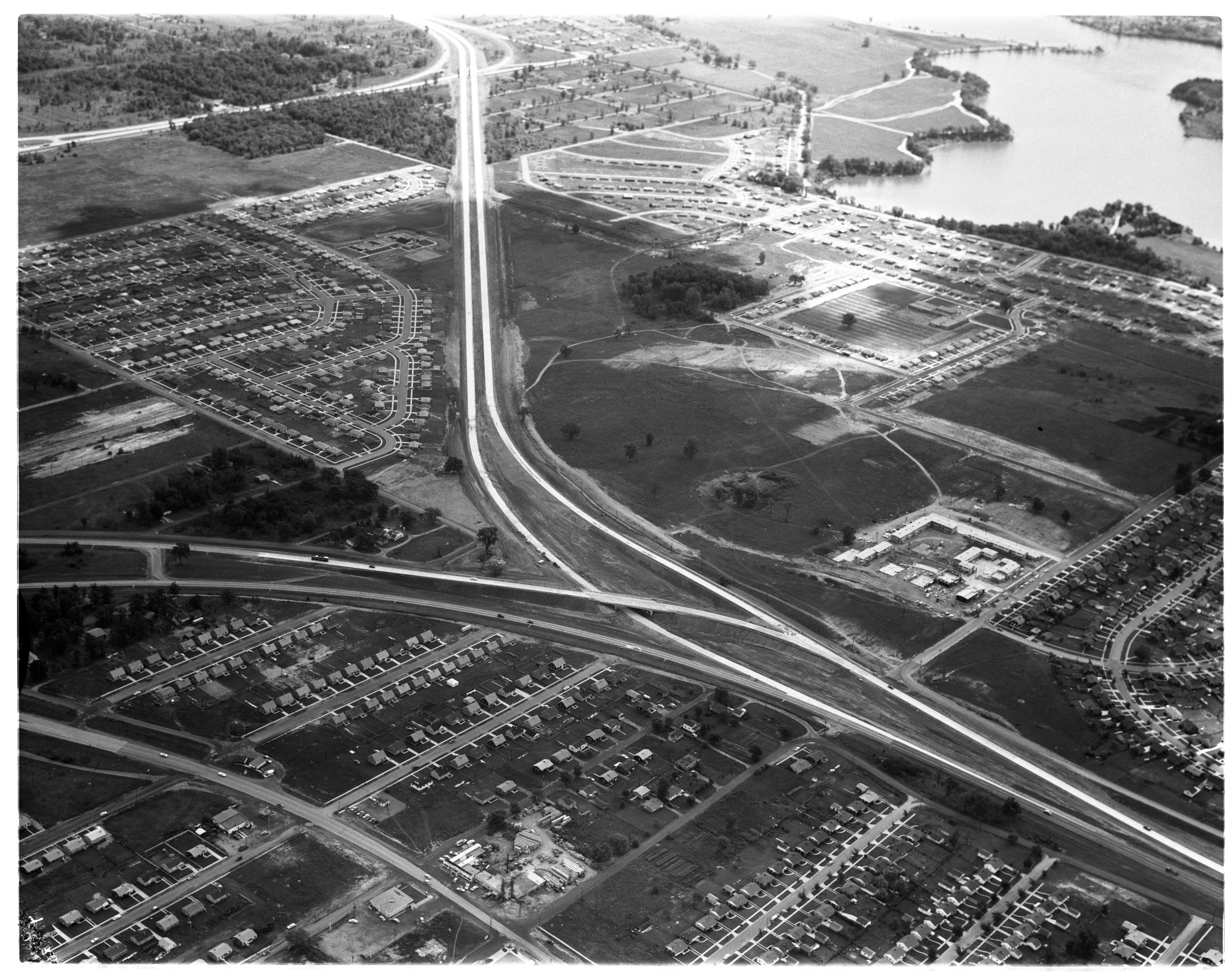
Aerial Photograph of Whitmore Lake Highway Bypass, February 1958

Year:
1958
Copyright
Copyright Protected
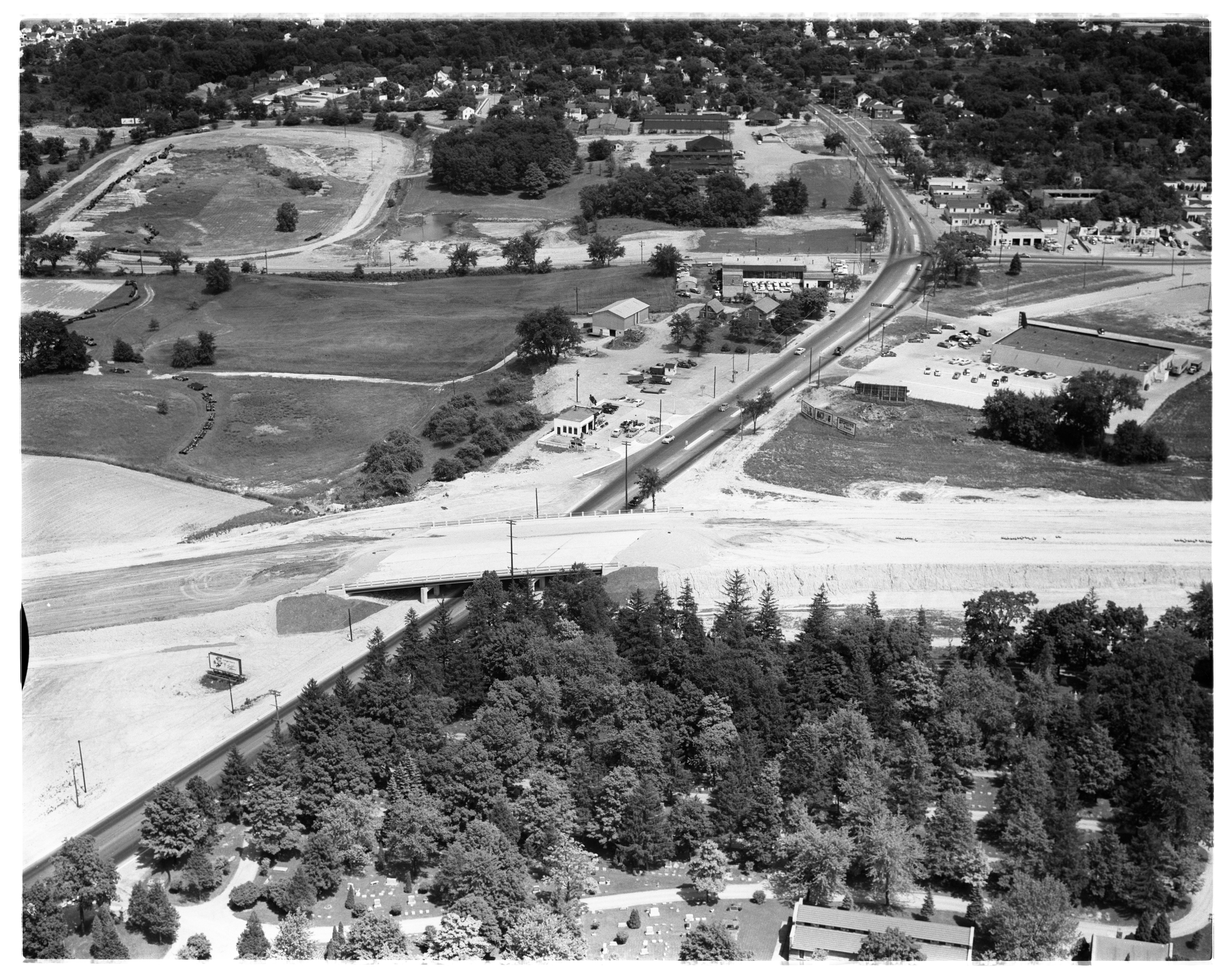
Aerial Photograph of Frank R. Ross's Farm and US 23, Northfield Township, July 1957
Year:
1957
Published In:
Ann Arbor News, July 27, 1957
Caption:
The Stranded House: This aerial view of the new dual-lane US-23 in Northfield township shows the quandry in which the Frank R. Ross family has been placed by the building of the new road. The Ross farm home is seen in the lower center. Seventeen of the 18 acres of land owned by Ross are located in the open stretch of land directly across the dual-lane highway. He is required to drive 2 1/2 miles around the new road to reach his 17 acres, although the land is only 250 feet from his home.
Copyright
Copyright Protected
Aerial Photograph of the Proposed US 12 Overpasses, Ypsilanti Township, May 1959
Year:
1959
Published In:
Ann Arbor News, May 20, 1959
Caption:
Controversial Overpass Locations: This aerial view shows the two locations for a proposed bridge to carry traffic over the US-12 Expressway east of Grove Rd. in Ypsilanti township. The State Highway Department says it will construct an overpass (solid line) to connect Hull and Glenwood Aves. as soon as the Township Board approves the location. Residents of the area maintain the overpass should be built about 1,000 feet eastward and connect Harris Rd. (dotted line) across the Expressway. The large housing development at lower left is part of the Shady Knoll Subdivision.
Copyright
Copyright Protected
Aerial Photograph of US-12 Expressway Southeast of Ypsilanti, September 1958
Year:
1958
Published In:
Ann Arbor News, September 19, 1958
Caption:
New Expressway Cutoff Opened: This $1,028,864 cutoff of the US-12 Expressway southeast of Ypsilanti was opened to traffic yesterday. The cutoff (center) carries through Expressway traffic from a point near McGregor Ave. to S. Harris Rd. (lower right). The former Expressway lanes (across center) will continue to be used for local area traffic. The project, slated for completion by Nov. 30, eliminates two sharp curves in the Expressway and shortens the actual travel distance by nearly two miles. Part of the West Willow Subdivision area is at top left.
Copyright
Copyright Protected

Aerial Photograph of the Jackson Overpass Construction, July 1956 Photographer: Jim Galbraith
Year:
1956
Published In:
Ann Arbor News, July 11, 1956
Caption:
Overpass Spans Jackson Rd: A major link in the New Ann Arbor South Belt Bypass, which will carry the Detroit Expressway around Ann Arbor to a link-up with Jackson Rd. (US-12) west of Ann Arbor, is this overpass spanning Jackson Rd. Expressway traffic will cross busy Jackson Rd. on the overpass and will gain access to the highway by means of an interchange system west of the overpass. The South Belt will be opened this fall. In the background, stretching across the top of the picture, is Veterans Memorial Park. (Aerial photo by Jim Galbraith.)
Copyright
Copyright Protected